


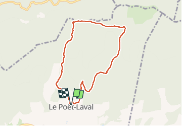

17.3 km | 31 km-effort

User


FREE GPS app for hiking
 SityTrail
IGN / Geographical institutes
SityTrail World
The world is yours!
Trail Walking of 7.8 km to be discovered at Auvergne-Rhône-Alpes, Drôme, Le Poët-Laval. This trail is proposed by parastat.
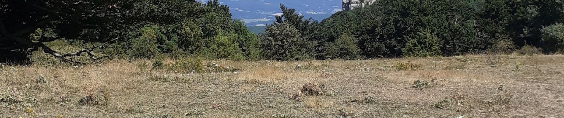
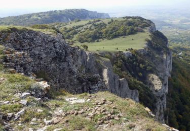
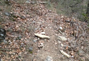
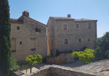
La montée de cette variante n'est pas la plus intéressante: 2/3 de piste caillouteuse; heureusement le 3ème tiers est agréable, hombre et parcours sur la prairie.


On foot

Walking

Walking

Walking
Walking

Walking
Walking

Walking
Walking